Copyright © 2009-2012 by "Milad Niroumand" · All Rights reserved · E-Mail: niroumand@sina.kntu.ac.ir
Topic: Optimal Visualization of Satellite Imagery and Superimposed Vector Data; a New Trend to the Conceptual Visualization of Land-Use Maps
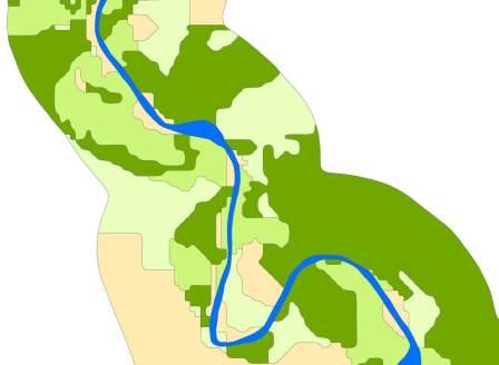
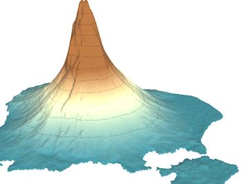
a) Smoothing of classified satellite image
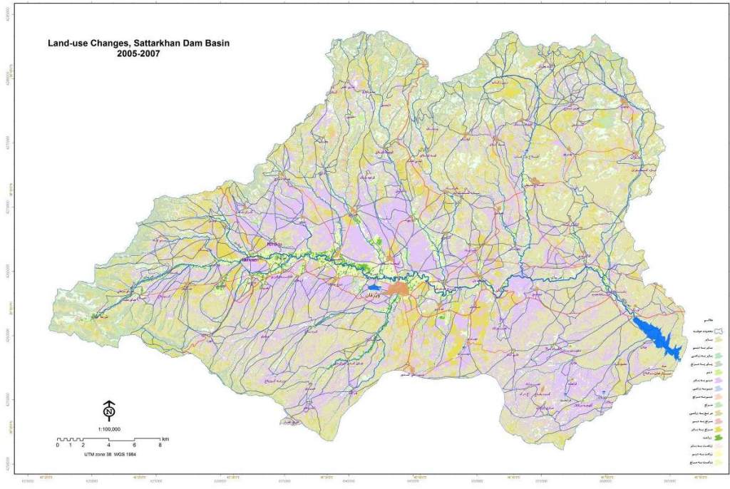
b) Land-use changes map, representation of all of the classes

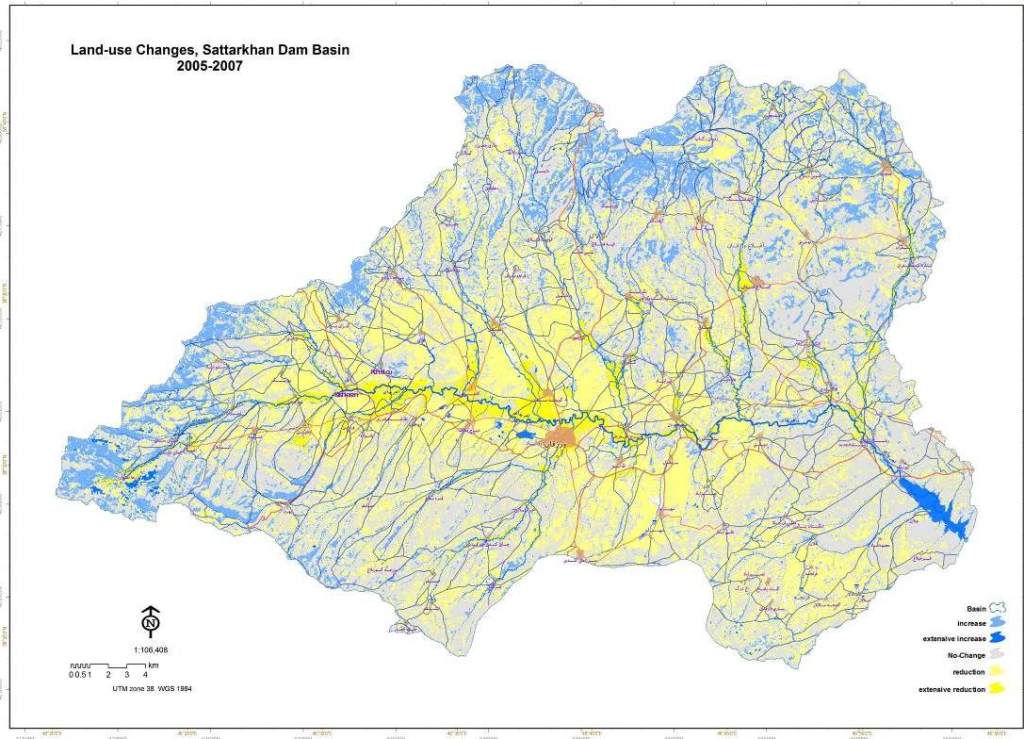
c) Land-use changes map,conceptual visualization

Implemented Maps


Milad Niroumand's Home Page

Research on Land-use Maps